$1,500$500/
Per Person
Trek Quick Details
Trek Overview
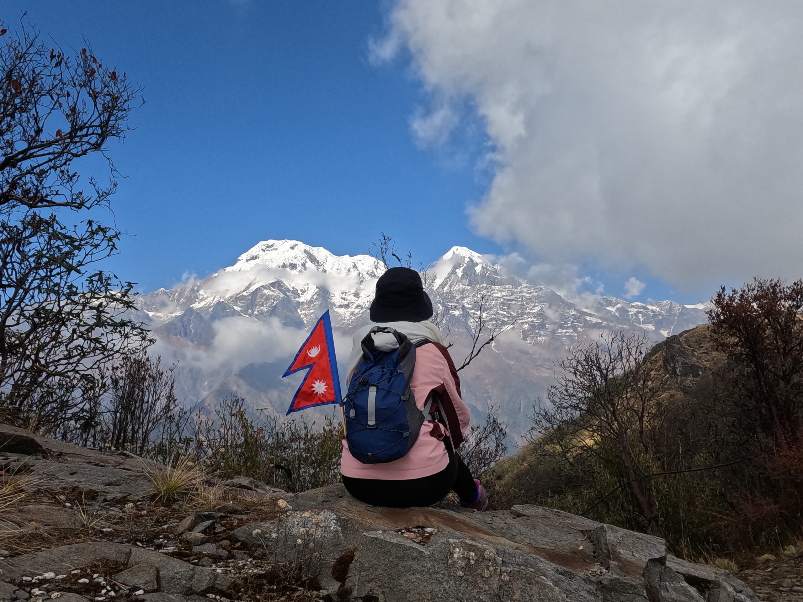
The Annapurna Circuit Trek with Tilicho Lake is an epic journey through diverse landscapes and cultures in the Himalayas. Starting from Besisahar, trekkers experience everything from lush lowlands to high-altitude deserts. Along the way, they enjoy stunning views of peaks like Annapurna, Dhaulagiri, and Manaslu, ending at the breathtaking Tilicho Lake, one of the world’s highest lakes.
Trekkers pass through ethnic villages, especially Manang, where Tibetan-influenced culture shines. Days spent here help with acclimatization and offer time to explore monasteries and local traditions. Tilicho Lake, revered in Hindu and Buddhist beliefs, is a challenging climb but rewards with its stunning turquoise waters.
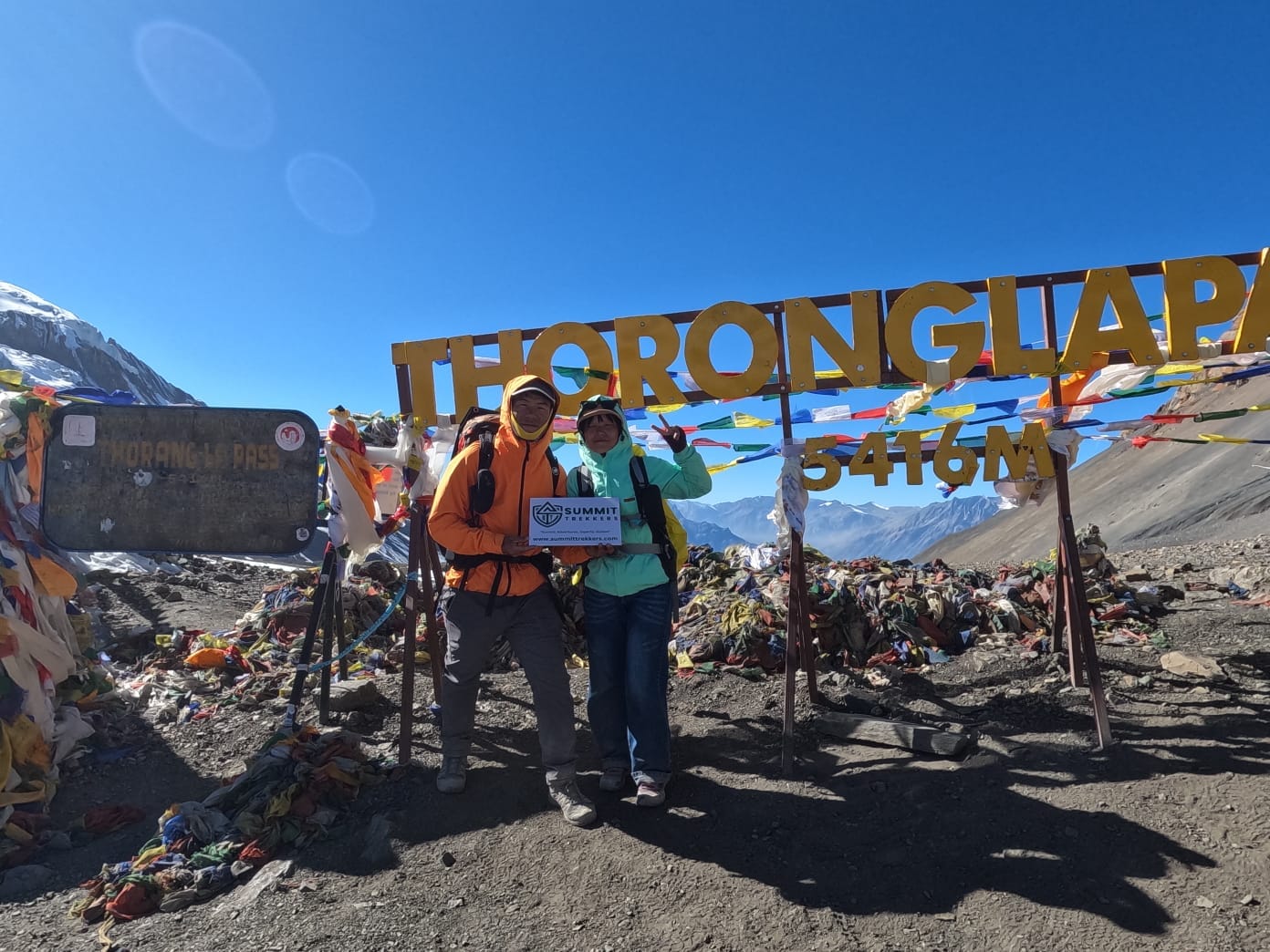
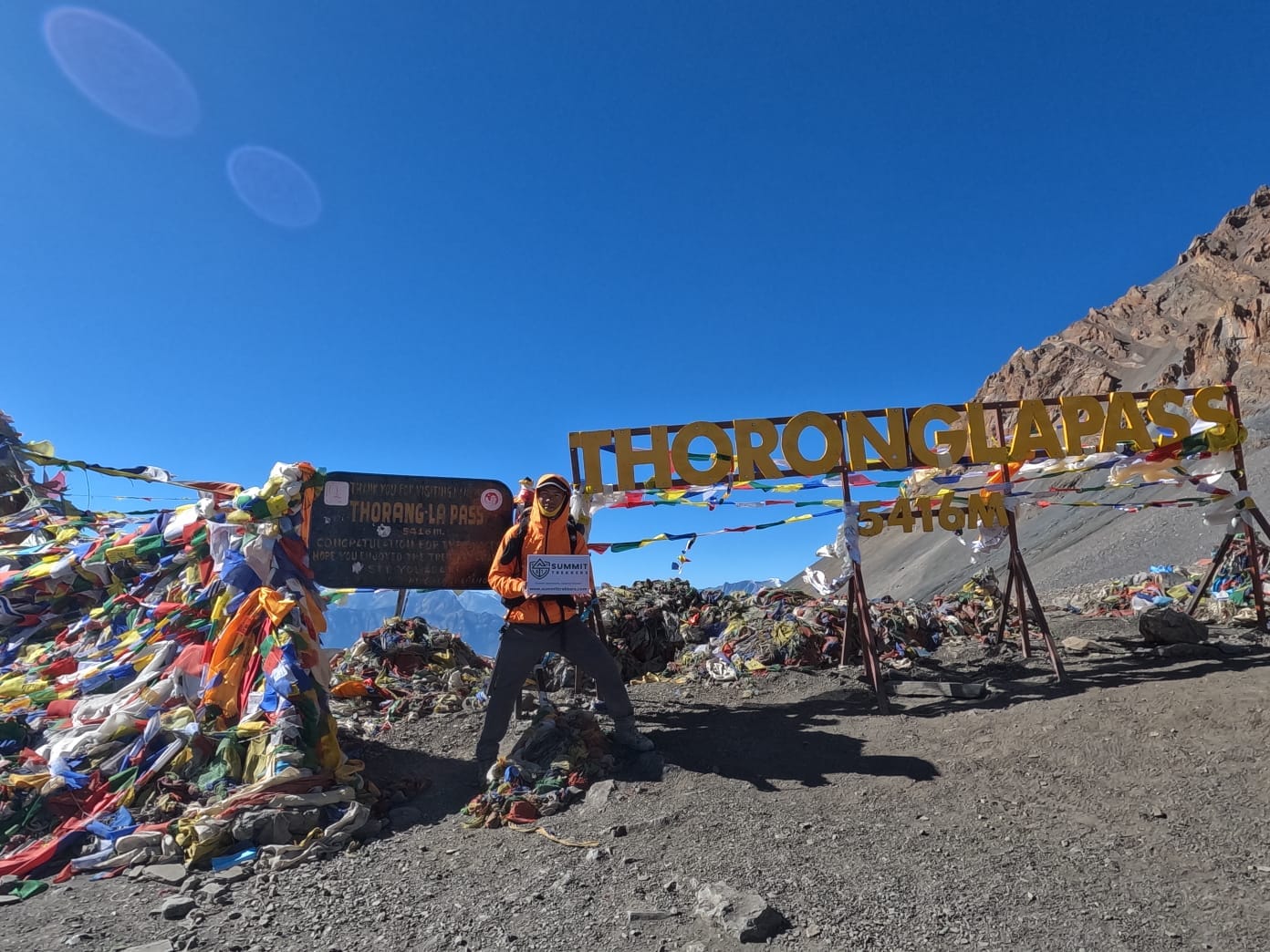
The journey peaks at the Thorong La Pass, reaching 5,416 meters with panoramic views of the Annapurna and Dhaulagiri ranges. The descent brings trekkers to Muktinath, a sacred pilgrimage site for Hindus and Buddhists. This route combines intense adventure with cultural immersion.
Ideal for fit trekkers, the Annapurna Circuit with Tilicho Lake 4,919 meters offers an extraordinary Himalayan experience. It’s perfect for those wanting to explore Nepal’s best landscapes, from high lakes to mountain passes, all while connecting with the region’s rich culture and spirituality.
Service Included and Excluded
- Airport Pickup/Drop Off, Transfer To Hotel.
- Kathmandu Hotel 4 Night Stays (BB).
- Domestic Transportation (Flight/Drive) For Both Client And Guide.
- Necessary Trekking Permits.
- Client Trekking Food & Accommodation.
- Guide Wage (Food & Accommodation).
- Porter Wage (Food & Accommodation).
- Basic Medical Kit (Incl. Oximeter).
- Fruits As Dessert.
- Trek Completion Certificate.
- Welcome/Farewell Dinner.
- International Airfare.
- Visa Fee.
- Trekking Equipment.
- Client Insurance.
- Personal Expenses (E.G. Soft/Hard Drinks, Toiletries, Wi:Fi, Souvenirs, Battery Charge, Internet, Hot Shower, Laundry Etc.).
- Tips For Trekking Staff.
Highlights of the Trek
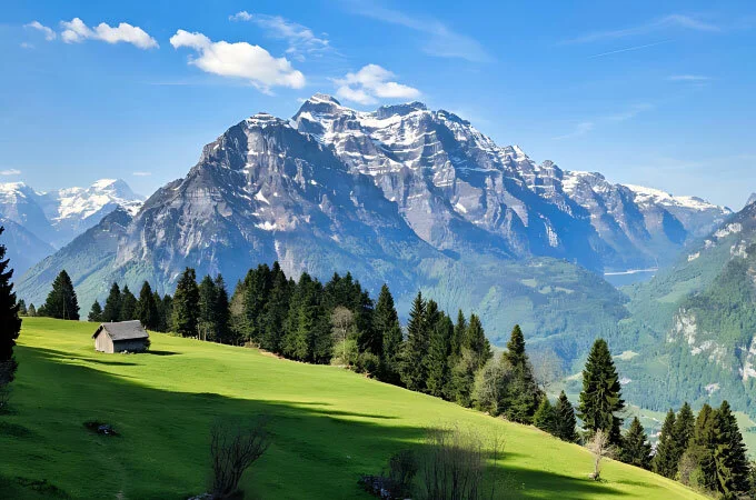
- Diverse Landscapes – Traverse lush valleys, alpine forests, arid highlands, and rocky cliffs for a true Himalayan variety.
- Scenic Peaks – Stunning views of Annapurna, Dhaulagiri, Manaslu, and Gangapurna mountains throughout the trek.
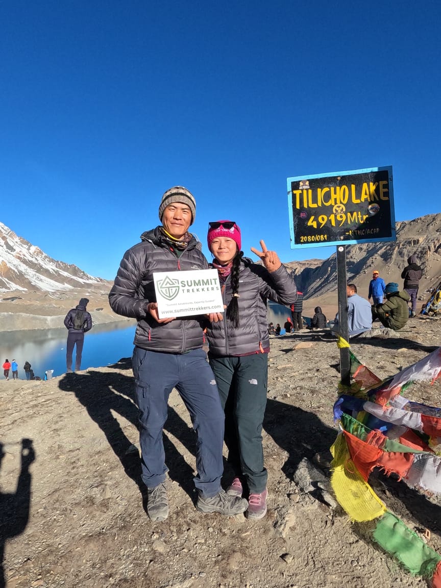
- Tilicho Lake – Visit one of the highest lakes in the world at 4,919 meters, renowned for its pristine turquoise waters.
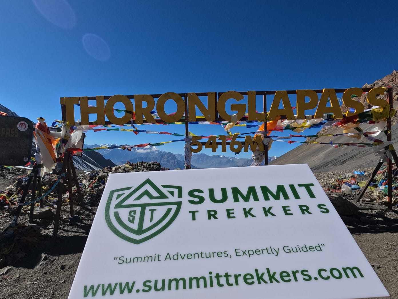
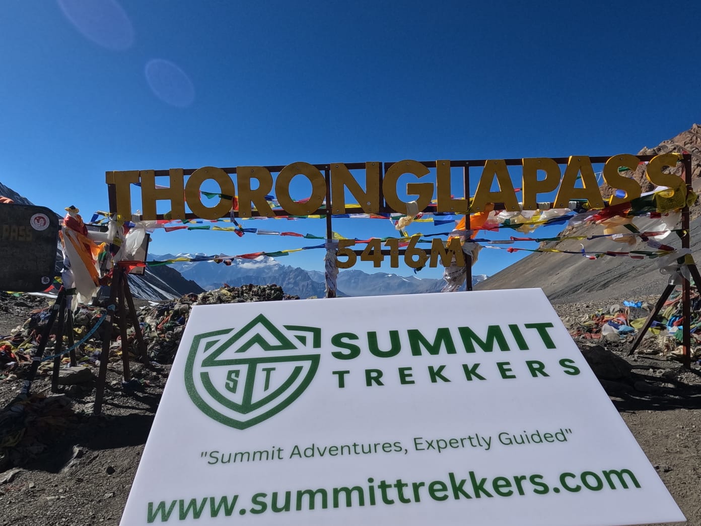
- Thorong La Pass – Cross this iconic 5,416-meter pass, the highest point of the trek, with breathtaking panoramic views.
- Cultural Villages – Experience unique Gurung and Thakali cultures in villages like Manang and Marpha.
- Pilgrimage Site – Explore Muktinath Temple, a sacred site for both Hindus and Buddhists near the end of the trek.
- Rich Wildlife – Spot native species such as blue sheep, yaks, and snow leopards in protected areas.
- Natural Hot Springs – Relax in the hot springs at Tatopani, a refreshing reward after days of trekking.
- Ever-changing Climate – Journey through varied climate zones, from tropical lowlands to chilly alpine zones, each with unique flora and fauna.
Itinerary
Upon your arrival at Tribhuvan International Airport in Kathmandu, situated at an altitude of 1,400 meters, our team will warmly welcome you to Nepal with a company logo placard. You'll be transferred to your hotel where you can rest and rejuvenate after your journey. Take this opportunity to explore the vibrant streets of Kathmandu, immerse yourself in the rich culture and heritage, bustling markets, and savor delicious Nepali cuisine. Overnight stay at a hotel in Kathmandu.
- Altitude: Kathmandu (1,400 Meters)
- Arrive At Tribhuvan International Airport In Kathmandu.
- Transfer To Your Hotel.
- Rest And Explore Kathmandu.
Today, you'll embark on a guided sightseeing tour of Kathmandu, visiting two UNESCO World Heritage Sites: Pashupatinath Temple, the holiest Hindu temple in Nepal, and Boudhanath Stupa, one of the largest Buddhist stupas in the world. These sacred sites offer insights into Nepal's spiritual and cultural heritage. After the sightseeing tour, you'll have free time to prepare for your trek. Our team will assist you in organizing and checking your trekking gear and equipment, ensuring you are fully prepared for the adventure ahead followed by a brief orientation session to discuss the details of your upcoming trek. Overnight stay at a hotel in Kathmandu.
- Visit To Pashupatinath Temple And Boudhanath Stupa
- Preparation For Trekking Adventure: Gear Checking
- Trek Briefing
- General Information
We begin our day with a 6–7 hour drive from Kathmandu to Besisahar (760m) early dawn, the starting point of the Annapurna Circuit, passing through lush valleys, terraced fields, and picturesque villages. After a short rest, we start our trek to Ngadi (930m), covering approximately 8 kilometers in 2–3 hours of easy walking. The trail takes us through charming countryside, crossing suspension bridges and following the Marsyangdi River, with views of local villages and serene waterfalls. We end the day in a cozy teahouse in Ngadi, surrounded by tranquil hills and terraced farmlands.
- Drive 6–7 hours from Kathmandu to Besisahar (760m).
- Trek 8 km to Ngadi (930m) in 2–3 hours.
- Pass suspension bridges, Marsyangdi River, and waterfalls.
- Overnight in a cozy teahouse amid tranquil hills.
Starting our day in Ngadi (930m), we trek toward Chamje (1,430m) on a trail that winds through picturesque villages, terraced fields, and dense forests, following the Marsyangdi River. The journey begins with a gradual ascent to Bahundanda (1,310m), a charming hilltop village offering stunning valley views, before descending to the riverbank and continuing to Syange (1,080m). From there, the trail becomes rugged, climbing alongside cascading waterfalls and dramatic cliffs. After covering approximately 15 kilometers in 6–7 hours, we reach Chamje, a tranquil village surrounded by lush landscapes, where we relax in the comfort of a local teahouse.
- Trek 15 km from Ngadi (930m) to Chamje (1,410m) in 6–7 hours.
- Ascend to Bahundanda (1,310m) with panoramic valley views.
- Pass through Syange (1,080m) and cross cascading waterfalls.
- Follow the Marsyangdi River along rugged trails.
- Overnight in a teahouse surrounded by dramatic cliffs and lush landscapes.
Starting our trek from Chamje (1,410m), we make our way toward Danakyu (2,300m), covering approximately 16 kilometers in 6–7 hours. The trail begins with a gradual ascent, crossing the Marsyangdi River via suspension bridges and winding through lush forests. We pass through Tal (1,700m), a beautiful village set in a wide valley with cascading waterfalls, and continue toward Dharapani (1,860m), the gateway to the Manang District. As we climb higher, the landscape transitions into alpine forests with glimpses of towering peaks. The final stretch brings us to Danakyu, a tranquil village surrounded by dense woods and panoramic views, where we rest for the night in a cozy teahouse.
- Trek 16 km from Chamje (1,410m) to Danakyu (2,300m) in 6–7 hours.
- Cross the Marsyangdi River via suspension bridges.
- Ascend through Tal (1,700m), a serene village with a wide valley and waterfalls.
- Pass Dharapani (1,860m), marking the entry to Manang District.
- Climb through rhododendron and pine forests with mountain views.
- Overnight in a teahouse in Danakyu, surrounded by peaceful alpine scenery.
We begin our day in Danakyu (2,300m), trekking toward Chame (2,670m) on a 14-kilometer journey taking 5–6 hours. The trail ascends steeply through dense pine and rhododendron forests, offering refreshing shade and occasional glimpses of snow-capped peaks. As we climb, we pass through Timang (2,750m), a charming village with breathtaking views of Mt. Manaslu and surrounding mountains, before descending slightly to the riverside settlement of Koto (2,600m). The route features suspension bridges and follows the Marsyangdi River's scenic flow. We reach Chame, the district headquarters of Manang, surrounded by majestic peaks and offering comfortable teahouses for a well-deserved rest.
- Trek 14 km from Danakyu (2,300m) to Chame (2,670m) in 5–6 hours.
- Ascend steep trails through lush pine and rhododendron forests.
- Pass through the picturesque villages of Timang (2,750m) and Koto (2,600m).
- Enjoy panoramic views of Mt. Manaslu and Annapurna II.
- Walk alongside the Marsyangdi River, crossing suspension bridges.
- Overnight in a teahouse in Chame, the district headquarters of Manang, surrounded by stunning peaks.
Starting from Chame (2,670m), we trek toward Upper Pisang (3,300m), covering approximately 15 kilometers in 5–6 hours. The trail follows the Marsyangdi River, passing through dense pine forests and rocky landscapes. We encounter the striking Paungda Danda rock face, a unique geological feature that curves dramatically above the valley. As we continue, we pass through peaceful villages like Bhratang (2,850m) and Dhukur Pokhari (3,200m), each offering a glimpse of traditional life and incredible mountain views. Along the way, we enjoy panoramic vistas of Annapurna II, Annapurna IV, and Pisang Peak. The trek culminates in Upper Pisang, where we rest for the night in a cozy teahouse, surrounded by the magnificent Himalayan landscape.
- Trek 15 km from Chame (2,670m) to Upper Pisang (3,300m) in 5–6 hours.
- Follow the Marsyangdi River through dense pine forests and rocky terrain.
- Pass the iconic curved rock face of Paungda Danda (1,500m), a natural marvel.
- Cross suspension bridges and traverse peaceful villages like Bhratang (2,850m) and Dhukur Pokhari (3,200m).
- Enjoy panoramic views of Annapurna II and IV, Pisang Peak, and surrounding mountains.
- Overnight in a teahouse in Upper Pisang, a traditional Tibetan-style village with stunning Himalayan vistas.
From Upper Pisang (3,300m), we embark on a 9-kilometer trek to Manang (3,540m), which takes around 5–6 hours. The trail winds through picturesque forests and alpine meadows, offering stunning views of towering peaks. Along the way, we pass the village of Braga (3,300m), home to a historic Tibetan monastery and traditional stone houses. As we approach Manang, the landscape opens up to reveal breathtaking views of Gangapurna and Annapurna III. We cross several suspension bridges and gradually ascend towards Manang, where we spend the night. The village offers a chance to explore local culture, visit monasteries, and take in the spectacular mountain scenery.
- Trek 9 km from Upper Pisang (3,300m) to Manang (3,540m) in 5–6 hours.
- Follow the trail through beautiful forests and alpine meadows.
- Pass through the village of Braga (3,300m), known for its ancient monastery and traditional Tibetan culture.
- Enjoy stunning views of Gangapurna and Annapurna III as you approach Manang.
- Cross suspension bridges and traverse a gradually ascending path.
- Overnight in Manang, where we can explore the local culture and enjoy magnificent mountain views.
In Manang (3,540m), we take a day for acclimatization, which is crucial for adjusting to the higher altitude and preventing altitude sickness. The day is dedicated to resting and engaging in light activities, such as a short hike to the Gangapurna Lake or visiting the Manang Monastery, which offers stunning views of surrounding peaks like Annapurna III and Gangapurna. This allows our bodies to adapt to the altitude while enjoying the local culture and stunning landscapes. Staying hydrated, eating nutritious meals, and taking it easy helps prepare for the higher elevations ahead.
- Acclimatization day in Manang (3,540m).
- Rest and engage in light activities to adjust to higher altitude.
- Short hike to Gangapurna Lake for stunning views.
- Visit the Manang Monastery and explore local culture.
- Enjoy panoramic views of Annapurna III, Gangapurna, and surrounding peaks.
- Stay hydrated, eat nutritious meals, and rest to prepare for higher altitudes ahead.
From Manang (3,540m), we begin our trek to Tilicho Base Camp (4,200m), covering 7–8 kilometers in 4–5 hours. The trail ascends gradually through alpine meadows and rocky terrain, offering magnificent views of Tilicho Peak along the way. We pass through Khangsar (3,740m), a small village known for its traditional stone houses and incredible mountain vistas. After crossing a suspension bridge over the Khangsar River, the path becomes steeper and more rugged as we climb toward the base camp. The scenery grows more dramatic, with views of the Tilicho Glacier and surrounding peaks. We arrive at Tilicho Base Camp, surrounded by towering mountains and glaciers, where we rest for the night in the chilly, serene atmosphere.
- Trek 7–8 km from Manang (3,540m) to Tilicho Base Camp (4,200m) in 4–5 hours.
- Ascend through alpine meadows and rocky terrain, with stunning views of Tilicho Peak.
- Pass through Khangsar (3,740m), a small village known for its traditional architecture and mountain views.
- Cross a suspension bridge over the Khangsar River and continue up a steep, rugged path.
- Enjoy breathtaking views of the Tilicho Glacier and surrounding peaks as you approach base camp.
- Overnight at Tilicho Base Camp, where we are surrounded by towering mountains and glaciers.From Manang (3,540m), we begin our trek to Tilicho Base Camp (4,200m), covering 7–8 kilometers in 4–5 hours. The trail ascends gradually through alpine meadows and rocky terrain, offering magnificent views of Tilicho Peak along the way. We pass through Khangsar (3,740m), a small village known for its traditional stone houses and incredible mountain vistas. After crossing a suspension bridge over the Khangsar River, the path becomes steeper and more rugged as we climb toward the base camp. The scenery grows more dramatic, with views of the Tilicho Glacier and surrounding peaks. We arrive at Tilicho Base Camp, surrounded by towering mountains and glaciers, where we rest for the night in the chilly, serene atmosphere.
We begin with an early morning hike from Tilicho Base Camp (4,150m) to the stunning Tilicho Lake (4,919m), a 2–3 hour ascent through rugged terrain. The lake, nestled at a high altitude, offers breathtaking views of the turquoise waters surrounded by towering peaks and glaciers. After soaking in the beauty of the lake, we return to base camp and then descend toward Shree Kharka (4,070m), covering about 5–6 kilometers in 3–4 hours. The descent takes us through rocky paths and alpine meadows, with panoramic views of the surrounding mountains. We spend the night in Shree Kharka, a peaceful settlement surrounded by the impressive landscapes of the Annapurna region.
- arly morning hike from Tilicho Base Camp (4,150m) to Tilicho Lake (4,919m), taking approximately 2–3 hours.
- Enjoy breathtaking views of the crystal-clear turquoise lake, surrounded by towering peaks and glaciers.
- Spend time at the lake, soaking in the serene beauty of the high-altitude environment.
- After returning to base camp, descend to Shree Kharka (4,070m), covering about 5–6 km in 3–4 hours.
- The trail descends through rocky terrain and alpine meadows, offering sweeping views of the surrounding mountains.
- Overnight at a teahouse in Shree Kharka, a small settlement surrounded by stunning landscapes.
From Shree Kharka (4,070m), we begin our trek to Yak Kharka (4,210m), covering a distance of approximately 6–7 kilometers in 3–4 hours. The trail ascends gradually, passing through alpine meadows and sparse vegetation. As we trek, we encounter a more rugged landscape, with views of the surrounding peaks and the growing presence of yaks grazing in the area. The path is less steep than previous sections, offering a moderate ascent. Upon arrival at Yak Kharka, we settle into a local teahouse, where we can rest and acclimatize to the increasing altitude.
- Trek 7–8 km from Shree Kharka (4,070m) to Yak Kharka (4,210m) in 3–4 hours.
- Ascend through alpine meadows and pastures, with views of Tilicho Peak and the surrounding mountains.
- Cross several small streams and pass through a few isolated shepherd settlements.
- Enjoy the sight of grazing yaks and the expansive mountain vistas.
- Overnight in a teahouse in Yak Kharka, a tranquil spot surrounded by alpine landscapes, ideal for acclimatization.
From Yak Kharka (4,210m), we trek to High Camp (4,800m), covering approximately 4–5 kilometers in 3–4 hours. The trail becomes steeper as we ascend through alpine terrain, passing rocky paths and sparse vegetation. As we climb, the landscape transforms into a more barren, high-altitude environment, with spectacular views of the surrounding peaks. The air thins, and we feel the altitude more strongly, so it’s important to pace ourselves. Upon reaching High Camp, we settle into a basic teahouse or camping area, where we prepare for the challenging ascent to Thorong La Pass the following day.
- Trek 4–5 km from Yak Kharka (4,210m) to High Camp (4,800m) in 3–4 hours.
- Steep ascent through alpine terrain with rocky paths.
- Pass through sparse vegetation and rugged landscapes.
- Enjoy stunning views of surrounding peaks and barren high-altitude environments.
- Reach High Camp, where we prepare for the Thorong La Pass ascent the next day.
From High Camp (4,800m), we begin our challenging trek to Muktinath (3,710m), covering 17–18 kilometers in 8–10 hours. We start early to reach Thorong La Pass (5,416m), the highest point on the Annapurna Circuit, where we are rewarded with breathtaking panoramic views of the surrounding Himalayan peaks. After reaching the pass, we begin a steep descent toward Muktinath, a sacred site revered by both Hindus and Buddhists, famous for its temple and the holy water spouts. The trail moves through rocky, barren landscapes before gradually transitioning to more lush, fertile terrain as we approach Muktinath. We end our day in Muktinath, where we can explore the spiritual site and relax after a physically demanding trek.
- Trek 17–18 km from High Camp (4,800m) to Muktinath (3,710m) via Thorong La Pass (5,416m), in 8–10 hours.
- Early morning ascent to Thorong La Pass, the highest point on the Annapurna Circuit, offering breathtaking panoramic views of the Himalayas.
- Descend steeply from the pass to Muktinath, a sacred site for both Hindus and Buddhists, known for its temple and holy water spouts.
- The trail passes through rocky, barren terrain, and then transitions to lush vegetation as we approach Muktinath.
- Overnight in Muktinath, where we can explore the spiritual site and relax after the long, challenging trek.
After completing the trek to Muktinath (3,710m), we have the option to drive to either Jomsom (2,700m) or Marpha (2,670m), both offering a more relaxed pace after the challenging trek. The drive to Jomsom takes about 1.5 to 2 hours, covering roughly 20 kilometers along a rugged road that follows the Kali Gandaki River, passing through scenic villages and offering stunning views of the surrounding mountains. Jomsom, the district headquarters of Mustang, has various amenities and accommodations for a comfortable stay. Alternatively, we can drive to Marpha, a charming village known for its apple orchards and traditional stone houses. This drive takes about 2 hours and leads to a peaceful village, perfect for unwinding and experiencing the local culture.
- After reaching Muktinath, we can drive to either Jomsom or Marpha, depending on preference and available transportation options.
- Drive to Jomsom (2,700m): The drive takes approximately 1.5 to 2 hours, covering a distance of about 20 kilometers. The road is rugged, but it offers scenic views of the Kali Gandaki River, local villages, and surrounding mountains. Jomsom is the district headquarters of Mustang and offers various facilities and accommodations.
- Drive to Marpha (2,670m): Alternatively, we can opt to drive to Marpha, a picturesque village known for its apple orchards and traditional stone houses. The drive from Muktinath to Marpha takes about 2 hours. Marpha is a peaceful and charming village, ideal for a restful night and exploration of the local culture.
Location Map
Frequently Asked & Question
-
Best Trekking Experience
I had an opportunity to trek in the Annapurna Region joining Summit Trekkers and it was a marvellous experience. Highly recommend their service.
December 4, 2024
Book Your Tour Now
Reserve your ideal trip early for a hassle-free trip; secure comfort and convenience!






Leave feedback about this